Dam on the Mapè River, Cameroon

DAM ON THE MAPÈ RIVER, CAMEROON
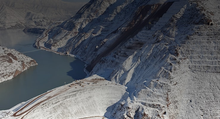
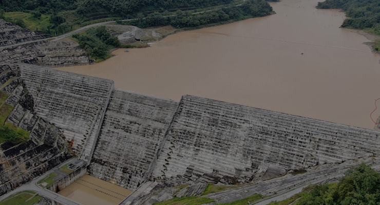
The project is located 76 km from the town of Foumban, on the Mapé river and was created with the aim of creating a reservoir of 3.2 billion cubic meters to increase, in the dry season, the regularized flows of the Sanaga river bringing them to 850 m3/s, so as to optimize the exploitation of the Edea and Song Loulou power plants.
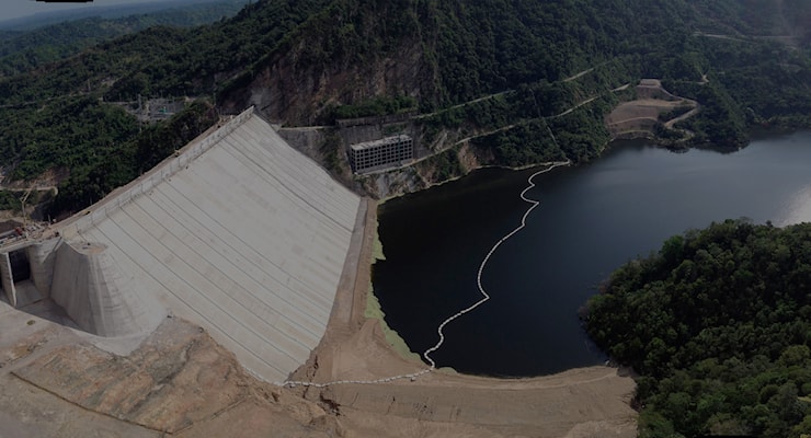
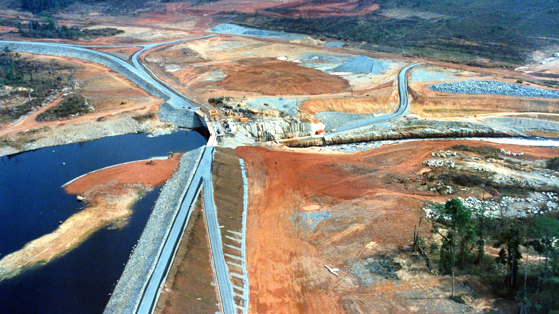
The main earthen dam has a maximum height of 35 m, 1,521 m long and 5.5 m wide at the crest. Drainage wells, intended to control infiltration into the alluvial soils on which the dam rests, were built every 20 m at the foundations. The volume of the dam embankment is 3.5 million m3.
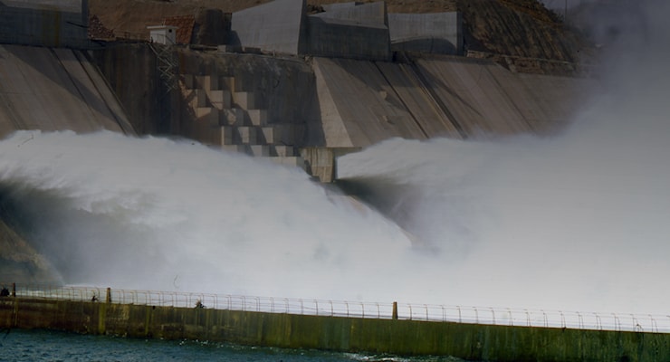
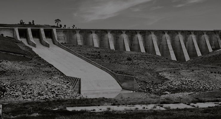
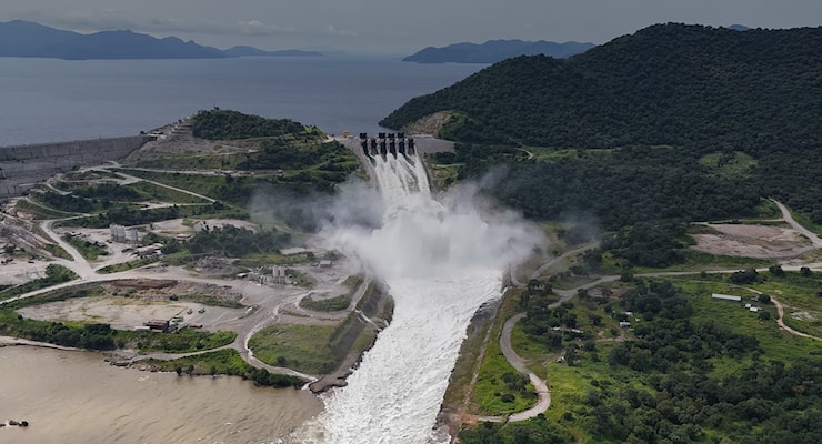
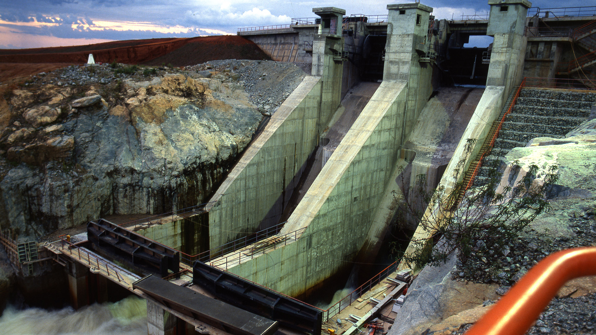
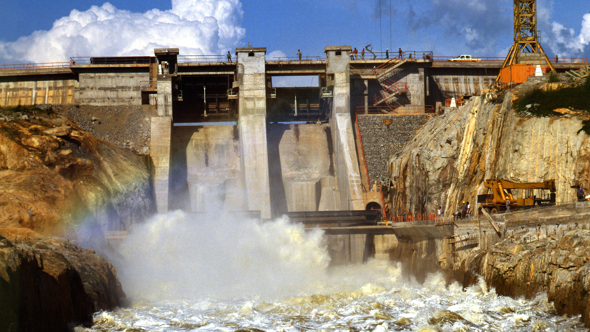
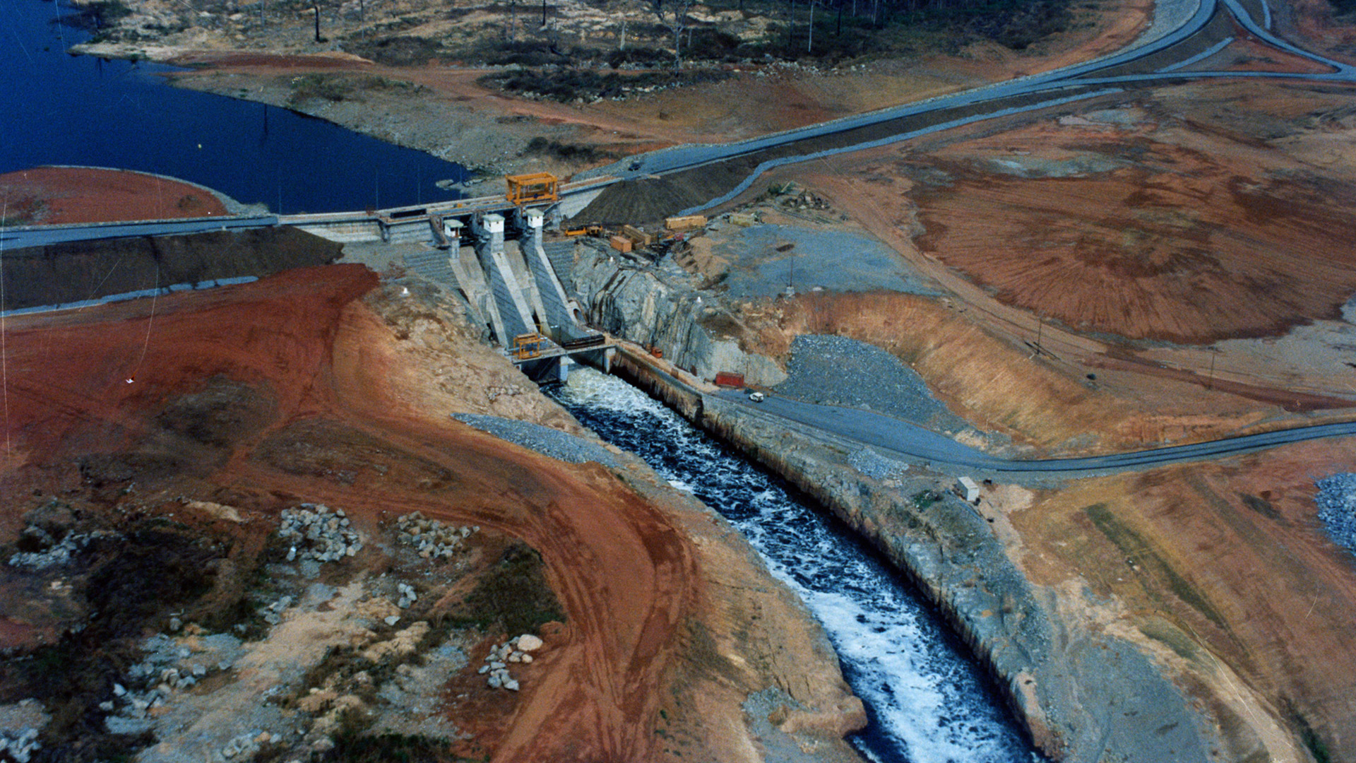
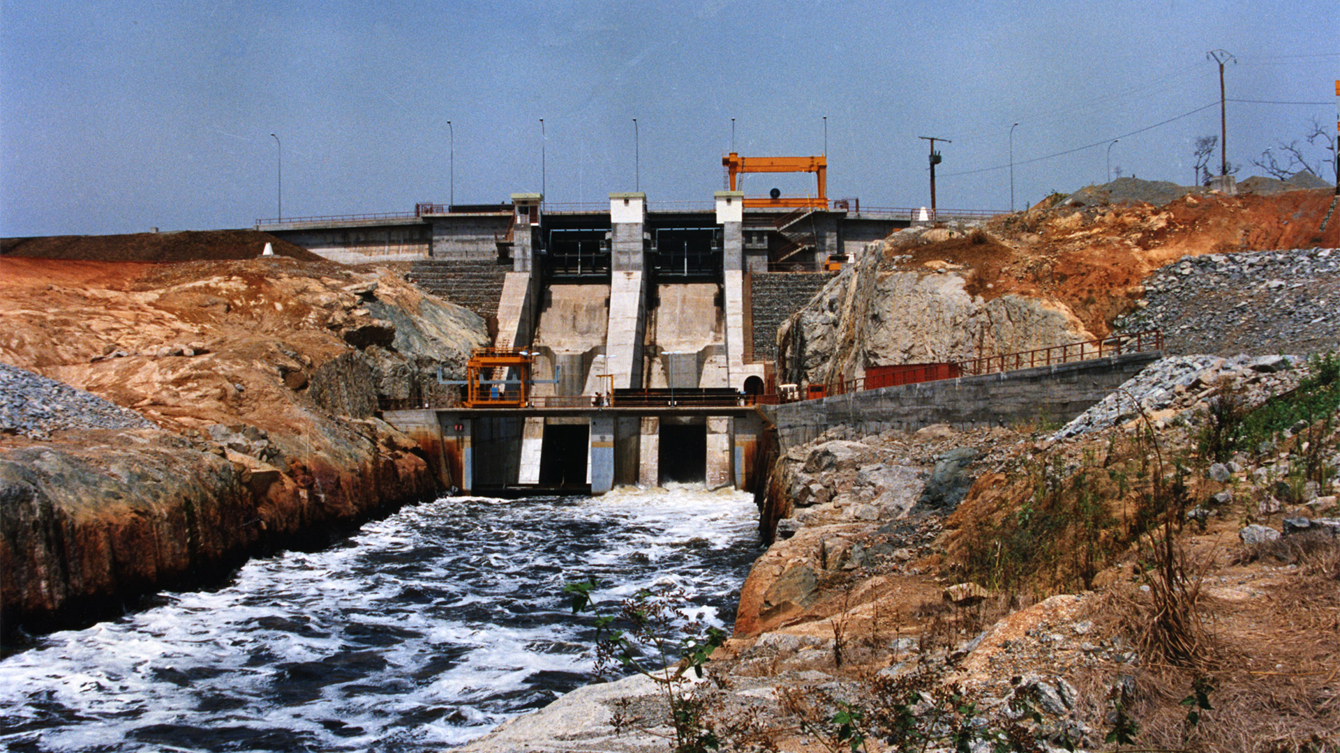
The G1 and G2 dams on the left bank and of modest height (6 m the first and 5.40 m the second) form a secondary dam with a total length of 992 m which connects with the left wall of the spillway. The D3 dam, 634 m. in length, it instead bars two consecutive depressions along the perimeter of the reservoir; the maximum height of the embankment is 7 m. The spillway is located on the left bank at 700 m from Mapé's bed. The work measures approximately 40 m high, 52.50 m long and 25.50 m in width.
A very rapid mobilization made it possible to achieve the objectives set by the client SONEL and to begin the filling phase of the reservoir in July 1987, the waters of which were used in the dry period of 1988, characterized by a particular drought.
The works were completed in December 1987, nine months ahead of the contractual schedule.


THE WORK AND THE TECHNIQUE
M³ OF VOLUME DETECTED
M³ CONCRETE VOLUME
M³ ROCK EXCAVATIONS
M³ EARTH EXCAVATIONS
SONEL – National Electricity Company of Cameroon
Discover other works